I’ve re-entered the academic world as a student at the University of Cambridge in the United Kingdom, and one of the benefits I’m enjoying the most is near-unlimited access to one of the world’s largest repositories of recorded information; the Cambridge University Library. Commonly known as the UL, this is a copyright library which means that under British rules on legal deposit, the library has the right to request a copy of any work published in the UK free of charge. Currently, the UL has over 8 million items, which includes books, periodicals, magazines and of course, maps.
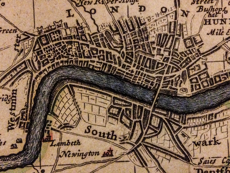
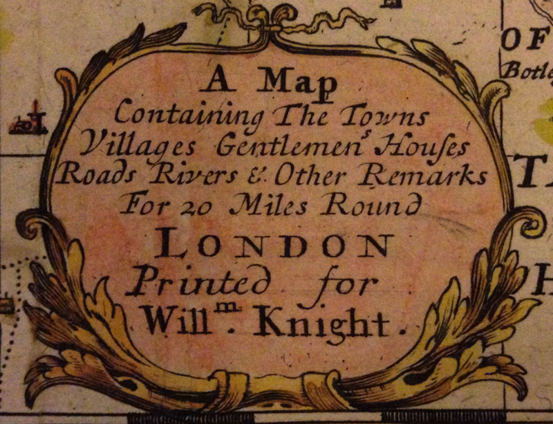
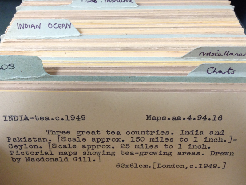
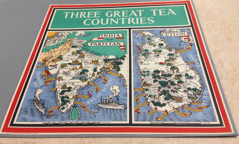
The Map Room in the UL is a fascinating place; it functions as the reading room for the Map Department, which holds over a million maps (as the librarian told me; Wikipedia claims it has 1.5 million). It’s not a very large room, as reading rooms go, but is a beautiful space and is very well managed. Everything is catalogued very efficiently with a filing card system, and there’s one card with the name, date of publication and classmark (UID/coordinates) for each map. Visitors are not allowed to simply browse through the map collections; to refer to a map, one must fill out a request form with the appropriate details and submit this form to the library assistants, who will then pull out the required map folio from its storage location. The title of this post comes from the fact that map holdings with classmarks beginning with ‘S696′, ‘Maps’ or ‘Atlases’ are held in the Map Room, in various drawers and cabinets.
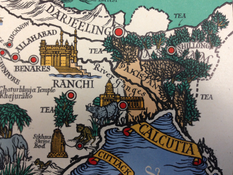
The Map Room is a pen-free zone; if you’re writing something, use a pencil. Smartphones and hand-held cameras are allowed, but under UL policy photos cannot be taken of the building itself. With prior permission however, it is possible to take images of material in the UL, which I did. The first series is from a map on display in the UL; titled “A map containing the towns villages gentlemen’s houses roads river and other remarks for 20 miles around London“, it was printed for a William Knight in 1710 and is a wonderful piece of cartography. The second series is from a map I requested using the card-index system; this map dates back to 1949 and beautifully illustrates tea-growing regions in the Indian-subcontinent.
If there’s a map in the UL you want an image of (for non-commercial or private-study purposes only!), I’d be happy to do what I can to help; I would actually be very grateful for an excuse to spend an afternoon looking at maps.


