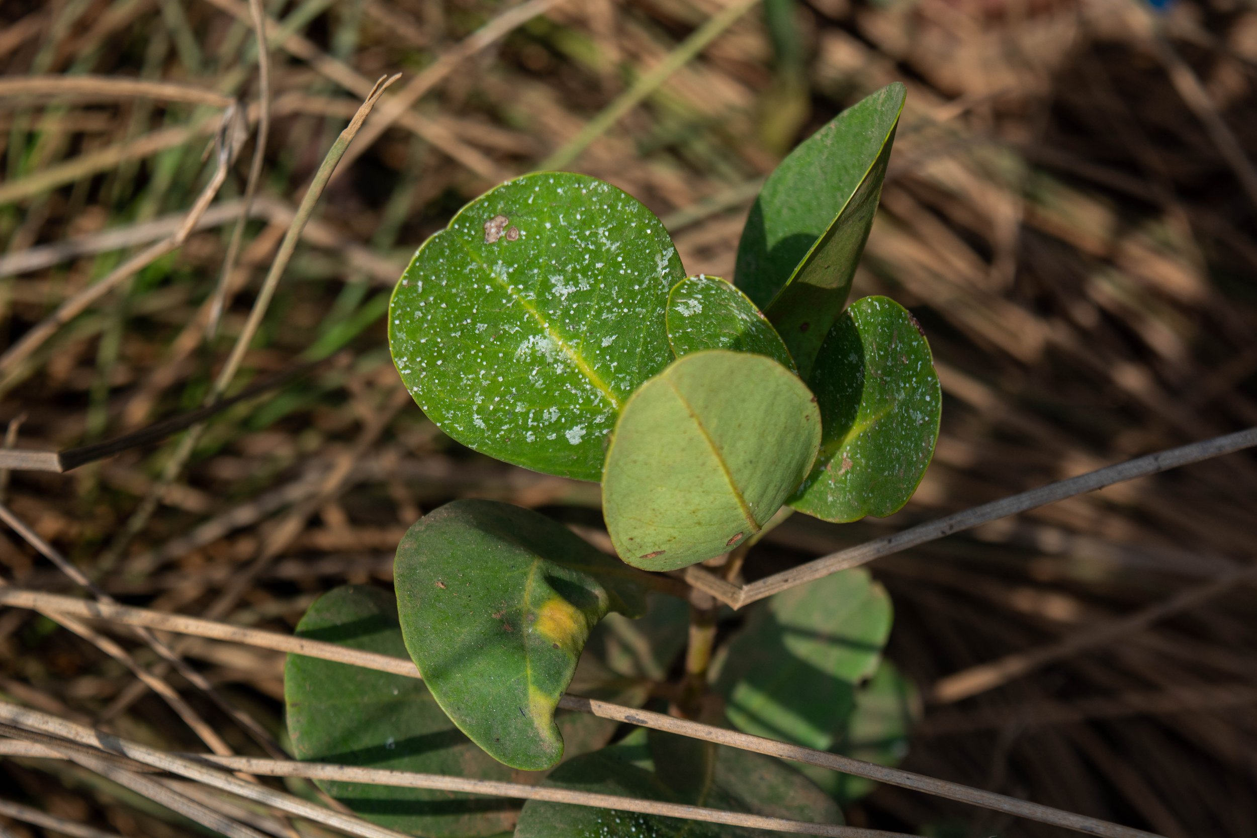
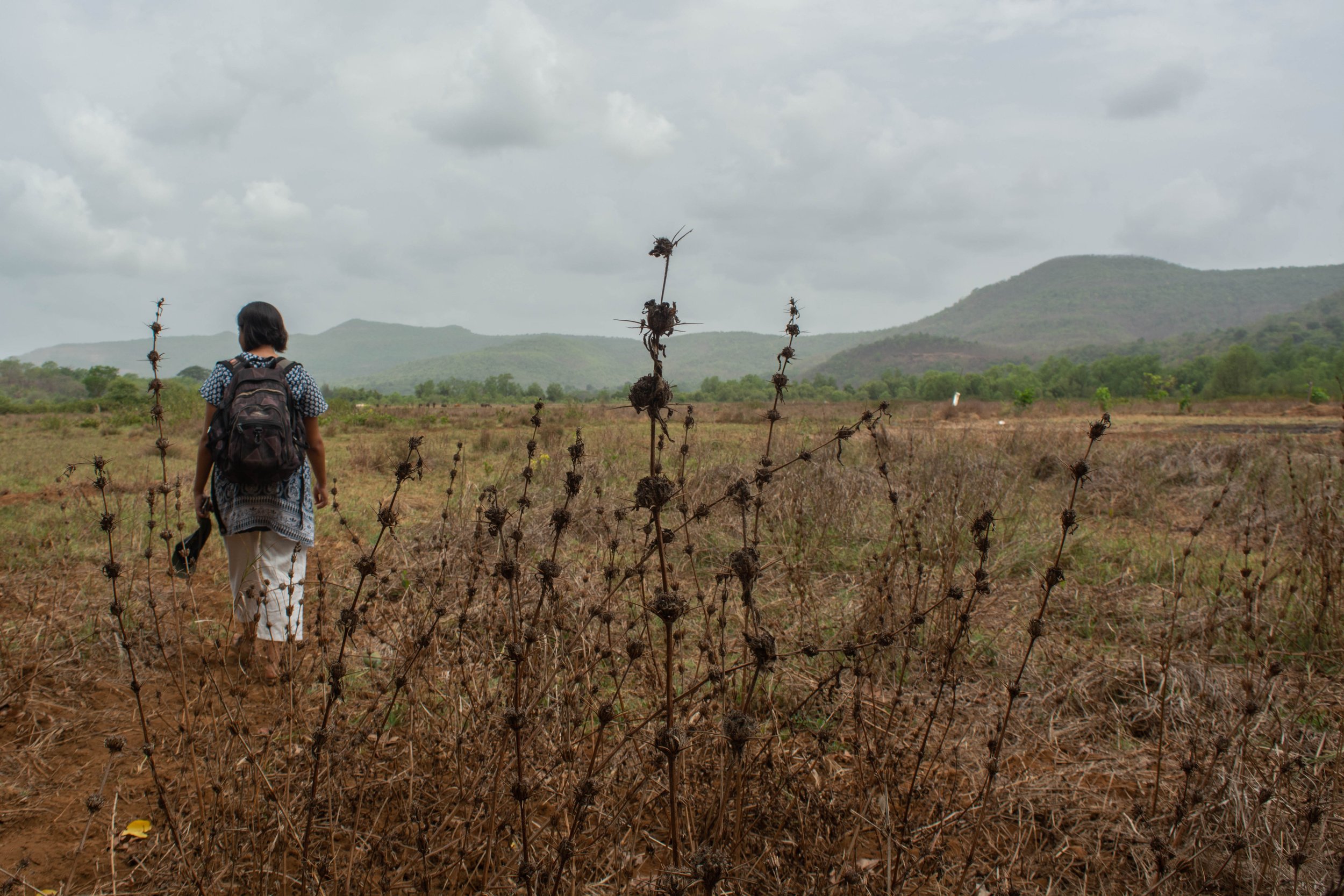
‘Tyācī sarva khāraphuṭīcī jamīna | It's all mangroves now.’
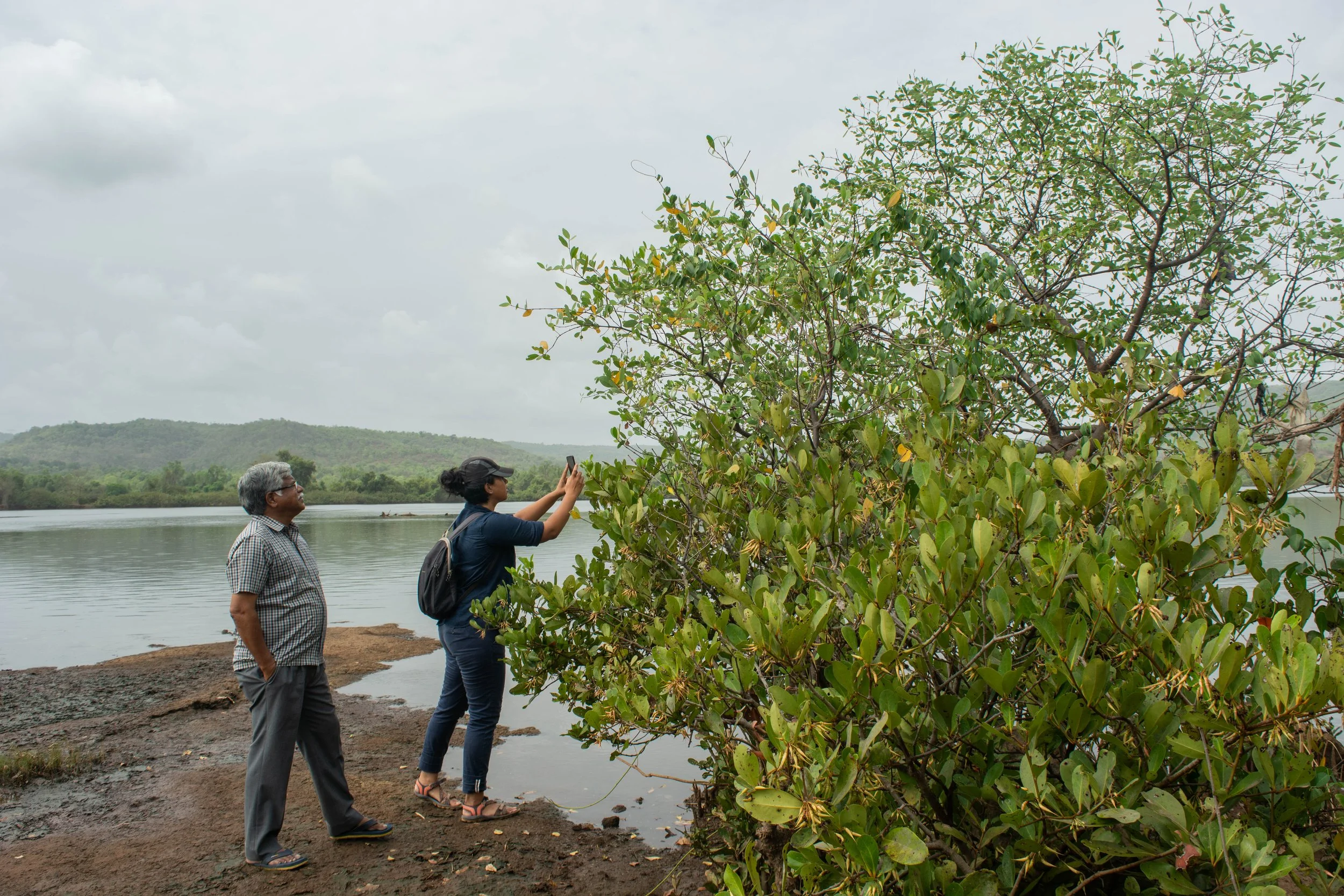
Growing where land and water meet, mud collected around the tangled mangrove roots, with shallow mudflats surrounding them. Patches of mangroves alongside the river were pointed out to us by our guide, an elder from the village, with the repeated observation – ‘it’s all mangroves now’ – as we walked on the river banks of the Savitri in Maharashtra.
We conducted this field trip in May 2022, with our collaborators Farmers for Forests (F4F) and EcoNiche to test a pilot model that encourages mangrove regeneration on fallow land unsuitable for agriculture.
Mangrove presence in Raigad, Maharashtra
Mangroves are found in tropical and subtropical latitudes, growing in slow-moving waters that allow sediments to accumulate. All species of the mangrove plant produce fruits, seeds, and seedlings that float in the oceans before taking root in fresh, brackish water. Muck builds up around the seedling’s roots, forming the surface for mudflats. In a few years, as the trees grow, the land area surrounding them also increases, growing an ecosystem around themselves. Because of their ability to act as carbon sinks, mangroves are often acknowledged as a compelling nature-based solution (NbS) to fight climate change. In November 2021, TfW and EcoNiche pitched a project that was selected for WRI’s Land Accelerator Grant which is aimed at business programmes to restore degraded forests and farmlands. Focusing on mangrove and seagrass conservation, the project, named the Reimagining Coasts Initiative, made it to the top 3% of nearly 500 applicants and won the innovation grant. Through this grant, we explored possible mangrove conservation and plantation in rural Maharashtra with our collaborators Farmers for Forests (F4F) who work in the area, and are familiar with local stakeholders.
These villages on the river banks are within 30 to 50 km of the Arabian sea. Farming practices here evolved to include the raising of bunds to prevent saline backflow into the fields from the river. Community construction and maintenance of these bunds allowed agriculture to develop in the region. However, in present times, these bunds have collapsed from lack of maintenance due to the dwindling of the farming community. As per the elders of the community, a variety of factors, such as the search for a better quality of life, different career options and monetary benefit, to name a few, have led to the younger generation migrating to urban centres. At this point, the population of the village consists primarily of senior citizens. The resulting increase in salination has rendered parts of these lands unsuitable for agriculture and has seen the natural return of mangroves. This makes this an interesting site to investigate mangrove restoration and conservation.
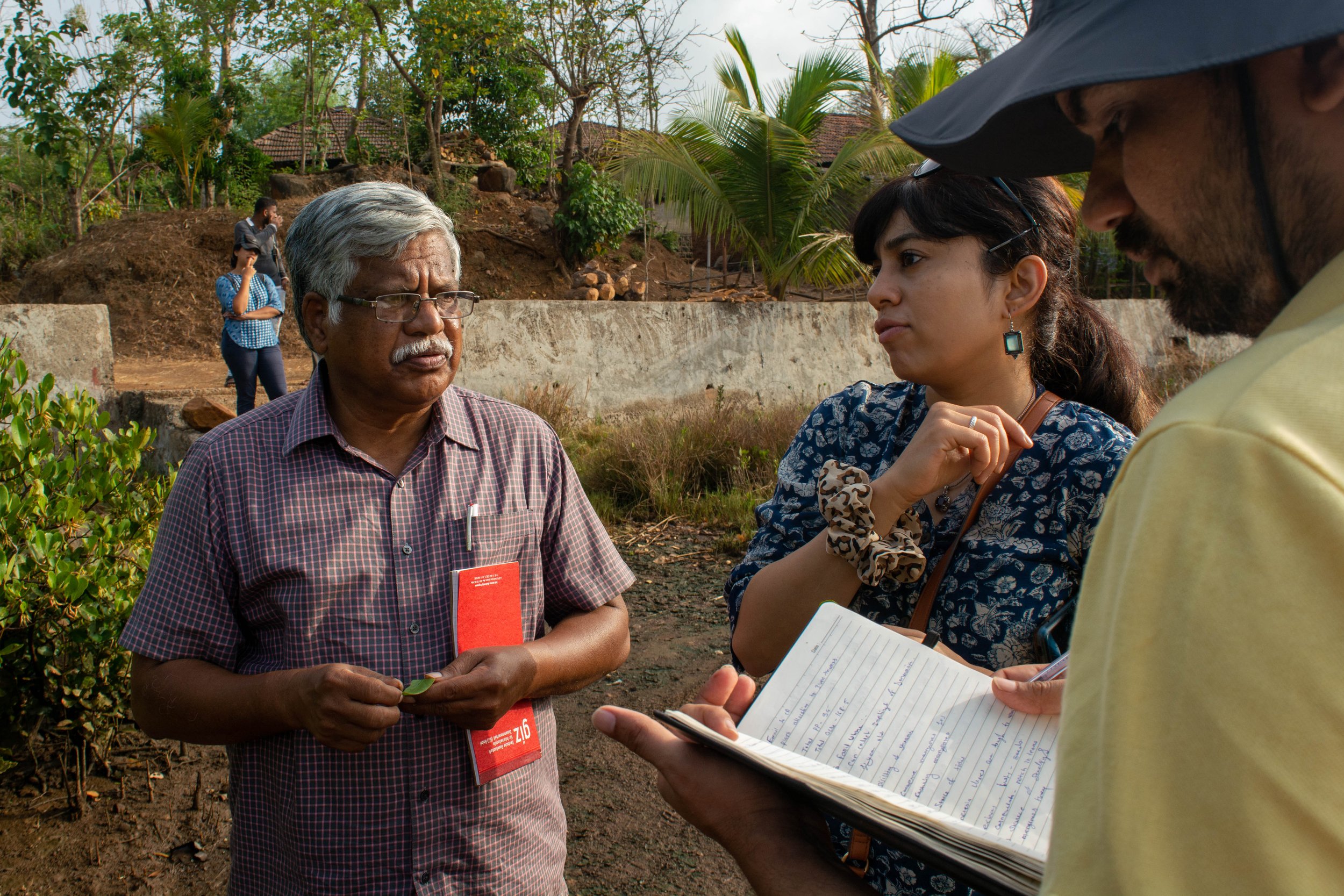
Team members interacting with an interested landowner to verify site location.
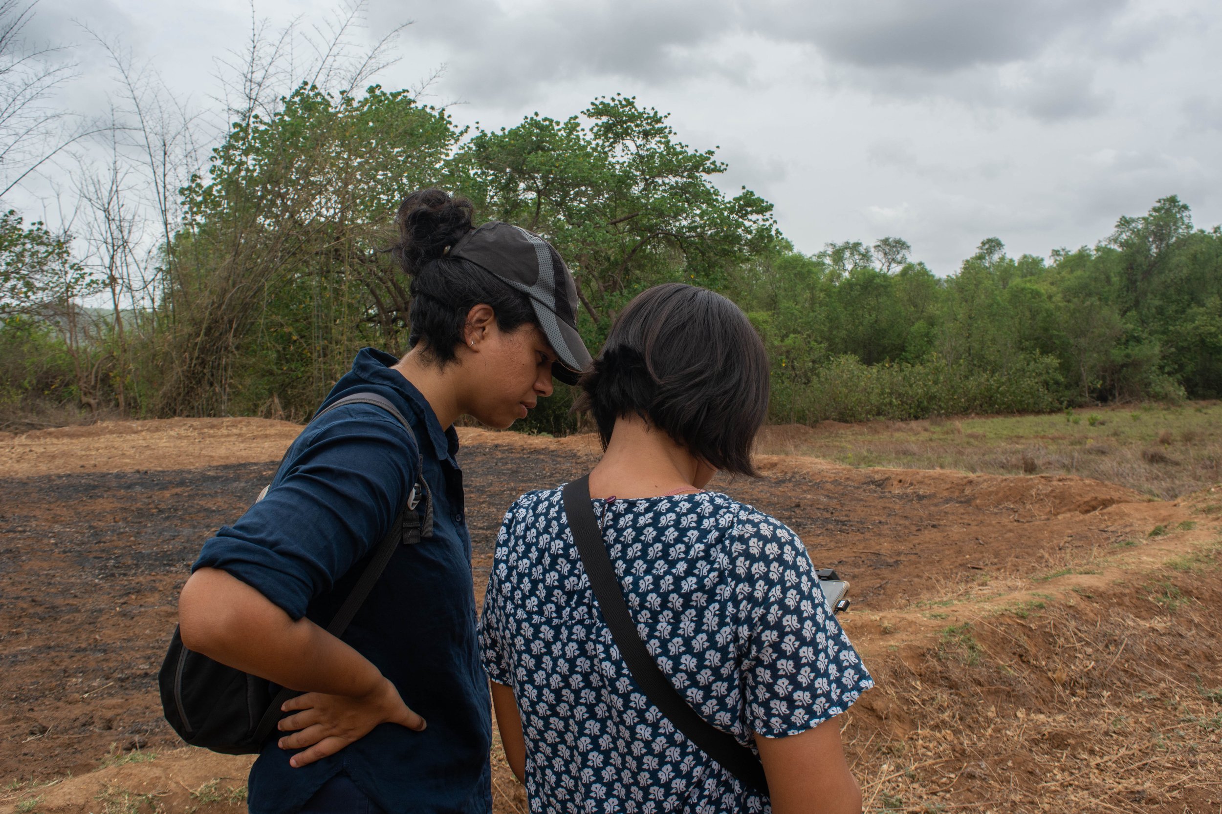
For their projects, the current model by F4F begins with the establishment of a dialogue with landowners in the region who may be interested in plantation or restoration on their land, in return for financial benefits. In this case, they were exploring restoration of mangroves, a new endeavour for them. Our field trip began with discussions with landowners and the village sarpanch, who had prior engagement with F4F. We were also joined by Dr. V. Selvam, an authority on mangroves in India. Accompanied by village elders, we walked through the village, to the edge of the river bank; to trace the path of salinity in their lands. This process helped us identify the main channels and breaks in bunds, while understanding the extent of salinity-induced features. Dr. Selvam guided us with information on the mangrove ecosystem flora while identifying the mangrove family and sub-varieties, while we took copious notes. We carried out photo-documentation of the species, while simultaneously listing their presence manually by noting scientific names, common names and local names.
This exercise was repeated in every site we visited during this field visit. We also used our Uncrewed Aerial Vehicle (UAV) to aerially survey potential sites for mangrove restoration. The aerial imagery collected was used to discuss the land that landowners were interested in inducting into our project. This was a task that would have taken longer and been far more taxing if our surveys were restricted to the ground alone. Alternatively, using satellite or land survey based maps, the precision and understanding of the decision making may have been affected.
In the weeks following the field trip, we found that some policy blocks prevented us from seeing the project through to implementation. However, it has opened an avenue for us to explore and work towards for the future, and in other regions.
A combination of data gained from the ground, coupled with remote monitoring offers new opportunities to monitor nature-based solutions (NbS). However, standard operating procedures for carrying out such surveys, with information on the methods and tools, require further development. We are actively engaged in this journey to refine techniques for using this data– to inclusively plan and effectively monitor restoration efforts.
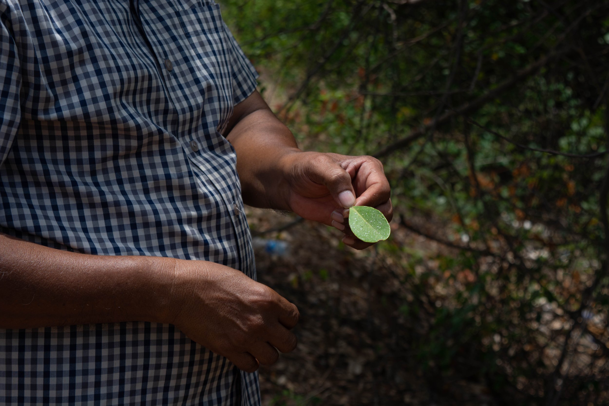
Presence of halophytic weed in a potential site for mangrove forestation.
Globally, there is a growing tendency towards ramping up the use of nature-based solutions. Enhancing ecosystems on the whole and addressing social concerns while generating environmental, economic, and societal value, NbS can help restore damaged ecosystems and carry out conservation efforts. These efforts ultimately have net positive impact, both locally and globally, benefitting the climate.


