
geoSpatial Intelligence
We understand the importance of your spatial data. From data collection and analysis through to the creation of beautiful cartographic products and interactive web-based dashboards, we can help you leverage your spatial intelligence to best effect.

Remote sensing Imagery and Spatial Data analysis
We acquire and process imagery from sensors on satellites and Unmanned Aerial Vehicles (UAVs), and analyse it in combination with relevant spatial information to create highly accurate representations of small areas of the Earth's surface.
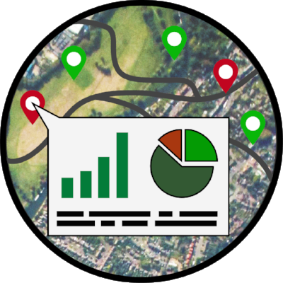
smart Dashboards
We build cloud-based dashboards to aggregate and visualise spatial information from multiple sources in near real-time. Data is easily accessible for further analysis, and is backed up and encrypted to ensure total security.
Case Studies
Analysing imagery from drones and satellites
We acquire, collect and process imagery from UAVs and satellites, extracting relevant information and generating insights. For example, in the project illustrated below, we’ve mapped out a section of mangroves using UAVs and have used our spatial analysis tools to identify, quantify and classify the vegetation present within each pixel.


Creating interactive webmaps and dashboards
An interactive webmap that depicts wildlife that have been killed by linear infrastructure in India.